
Takk for at du støtter denne siden ❤️
Gi en donasjon
Gi en donasjon
Topografisk kart Frenchman
Klikk på kartet for å vise høyde.
Takk for at du støtter denne siden ❤️
Gi en donasjon
Gi en donasjon
Om dette kartet
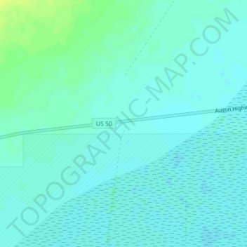
Navn: Topografisk kort Frenchman, højde, relief.
Sted: Frenchman, Churchill County, Nevada, United States (39.26897 -118.28076 39.28897 -118.26076)
Gjennomsnittlig høyde: 1 270 m
Minste høyde: 1 265 m
Maksimal høyde: 1 282 m
Takk for at du støtter denne siden ❤️
Gi en donasjon
Gi en donasjon
Andre topografiske kart
Klikk på et kart for å se dets topografi, dets høyde og dets relieff.
Fallon
United States > Nevada > Churchill County
Fallon experiences a cold desert climate, with hot summers and cold winters. Due to Fallon's elevation and aridity, the diurnal temperature variation is quite substantial, especially in the summer months. Fallon's climate is quite dry, due to its location in the rain shadow of the Sierra Nevada. Summer days…
Gjennomsnittlig høyde: 1 210 m