
Gi en donasjon
Topografisk kart Cache Lake
Klikk på kartet for å vise høyde.
Gi en donasjon
Om dette kartet
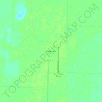
Navn: Topografisk kort Cache Lake, højde, relief.
Sted: Cache Lake, Clay County, Arkansas, 72435, United States (36.27562 -90.55316 36.31562 -90.51316)
Gjennomsnittlig høyde: 88 m
Minste høyde: 80 m
Maksimal høyde: 91 m
Gi en donasjon
Andre topografiske kart
Klikk på et kart for å se dets topografi, dets høyde og dets relieff.
Piggott
United States > Arkansas > Clay County
The topography of Piggott is mostly flat in the eastern half of the city with the more developed western half lying along Crowley’s Ridge, creating a sensation of coming down from a small mount to the flatland below. This ridge is a naturally occurring phenomenon created over millennia by wind-blown…
Gjennomsnittlig høyde: 103 m
Corning
United States > Arkansas > Clay County
The topography of Corning is flat, having previously been marshland. Area farmers and builders may attest to this due to the proliferation of gumbo soil, a name given to soil high in clay particulate matter and common in the region.
Gjennomsnittlig høyde: 88 m