
Takk for at du støtter denne siden ❤️
Gi en donasjon
Gi en donasjon
Topografisk kart Houghton Point
Klikk på kartet for å vise høyde.
Takk for at du støtter denne siden ❤️
Gi en donasjon
Gi en donasjon
Om dette kartet
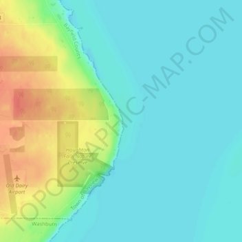
Navn: Topografisk kort Houghton Point, højde, relief.
Gjennomsnittlig høyde: 192 m
Minste høyde: 176 m
Maksimal høyde: 229 m
Takk for at du støtter denne siden ❤️
Gi en donasjon
Gi en donasjon
Andre topografiske kart
Klikk på et kart for å se dets topografi, dets høyde og dets relieff.
Bayfield
United States > Wisconsin > Bayfield County
Bayfield was named in 1856 for Henry Bayfield, a British Royal Topographic Engineer who explored the region in 1822–23. A post office has been in operation at Bayfield since 1856.
Gjennomsnittlig høyde: 236 m
Wilderness Lake
United States > Wisconsin > Bayfield County > Town of Drummond
Gjennomsnittlig høyde: 391 m
Peterson Lake
United States > Wisconsin > Bayfield County > Town of Iron River > Eliot
Gjennomsnittlig høyde: 355 m
Takk for at du støtter denne siden ❤️
Gi en donasjon
Gi en donasjon