
Takk for at du støtter denne siden ❤️
Gi en donasjon
Gi en donasjon
Topografisk kart Estes
Klikk på kartet for å vise høyde.
Takk for at du støtter denne siden ❤️
Gi en donasjon
Gi en donasjon
Om dette kartet
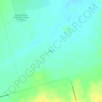
Navn: Topografisk kort Estes, højde, relief.
Sted: Estes, Midland County, Texas, United States (31.78730 -102.26134 31.82730 -102.22134)
Gjennomsnittlig høyde: 862 m
Minste høyde: 855 m
Maksimal høyde: 878 m
Takk for at du støtter denne siden ❤️
Gi en donasjon
Gi en donasjon
Andre topografiske kart
Klikk på et kart for å se dets topografi, dets høyde og dets relieff.